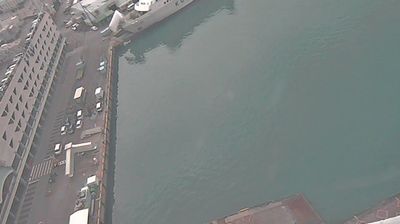
Sakata
![]() Sakata, Japani
Sakata, Japani
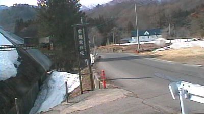
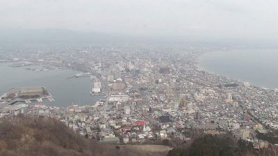
Real-Time Environment
Welcome to the live streaming webcam for Sakata, perfectly situated in the vibrant region of Sakata, Japani. Watching this live camera allows you to instantly experience the local atmosphere and monitor current climate conditions.

About Sakata
Sakata on Japanin kaupunki Honshūn saarella Tōhokun alueella Yamagatan prefektuurissa. Se sijaitsee prefektuurin luoteisosassa Japaninmeren rannikolla. Kaupunki on rakentunut Mogamijoen suulle Shōnain tasangolle. Sisämaassa sen alue nousee Dewavuorille ja rajautuu pohjoisessa Akitan prefektuuriin. Sakatassa on 100 433 asukasta ja sen pinta-ala on 602,97 neliökilometriä.
📖 Read more on Wikipedia📍 Location Facts
-
Country
 Japani
- Region Yamagata Prefecture
- City Sakata
- Coordinates 38.9248°N, 139.8095°E
Have you been to Sakata?
Help the community! Share your experience, tell us about the weather, or upload your own photos from this exact location.