Elati › Luode: Pyli Municipality › North-West
![]() Elati, Kreikka
Elati, Kreikka
Real-Time Environment
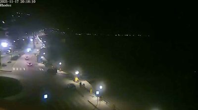
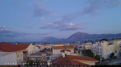
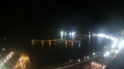
Welcome to the live streaming webcam for Elati › Luode: Pyli Municipality › North-West, perfectly situated in the vibrant region of Elati, Kreikka. Watching this live camera allows you to instantly experience the local atmosphere and monitor current climate conditions.

About Eláti
Eláti eli Stavrotá (Σταυρωτά) on vuori ja vuorijono Lefkaksen saarella Jooniansaarilla Kreikassa. Se on saaren korkein vuori ja sen korkeus on 1 182 metriä. Vuoren korkeimman huipun nimi on Stavrotá, mitä nimeä käytetään myös koko vuoresta. Toiseksi korkeimpaan huippuun, jonka korkeus on 1 126 metriä, viitataan usein erikseen nimellä Eláti. Siksi myös sen korkeus ilmoitetaan joskus koko vuoren korkeudeksi.
📖 Read more on Wikipedia📍 Location Facts
-
Country
 Kreikka
- Region Epeiros - Länsi-Makedonia
- City Elati
- Coordinates 39.5016°N, 21.5379°E
Have you been to Elati?
Help the community! Share your experience, tell us about the weather, or upload your own photos from this exact location.